Introduction
As climate change intensifies, so does the frequency and severity of environmental hazards—floods, wildfires, hurricanes, heatwaves, and droughts. These events pose significant risks not only to ecosystems but also to global infrastructure, finance, agriculture, supply chains, and human health.
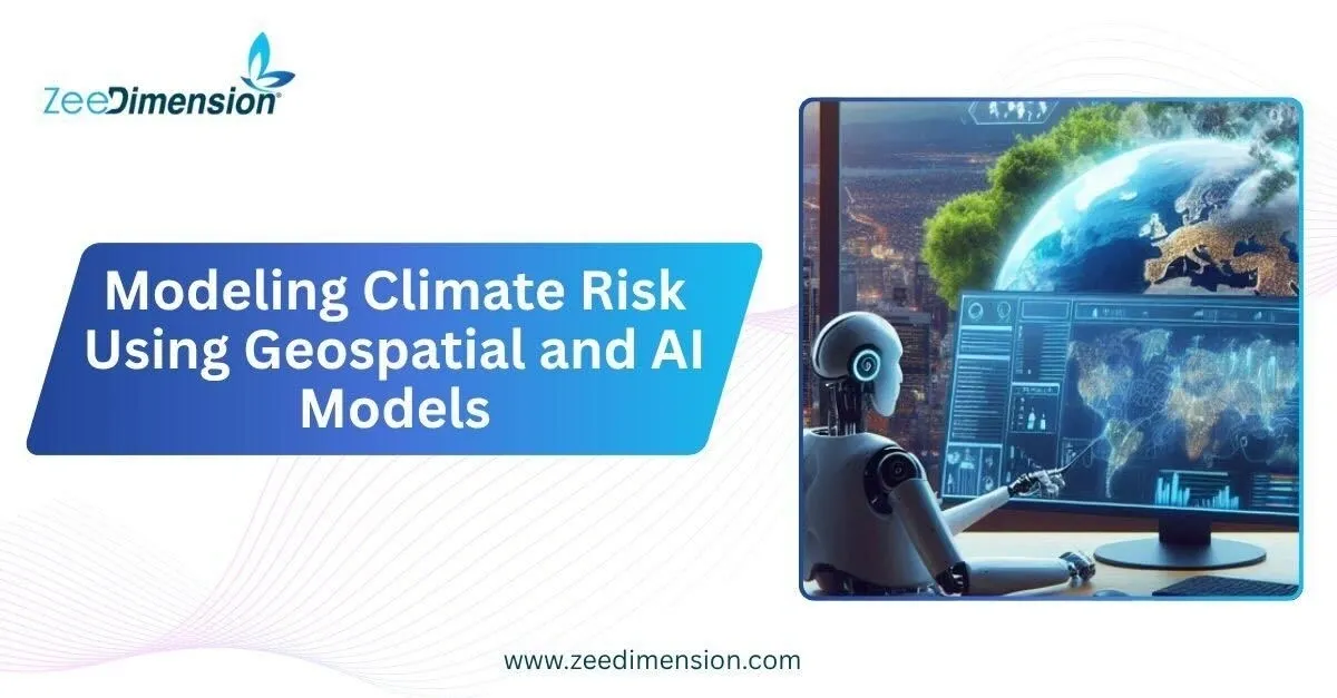
To accurately anticipate and respond to these threats, organizations are turning to a new frontier: geospatial data powered by artificial intelligence (AI). This fusion enables dynamic, high-resolution, and predictive climate risk modeling.
1. What is Climate Risk Modeling?
Climate risk modeling is the process of assessing the likelihood, impact, and propagation of climate-related hazards. It involves:
-
Physical Risks: Damage from acute events (e.g., storms) or chronic shifts (e.g., sea-level rise)
-
Transition Risks: Risks from shifts to a low-carbon economy (e.g., policy, technology, reputation)
Traditional models often fall short due to limited spatial resolution, static assumptions, or a lack of real-time data. This is where geospatial AI becomes a game changer.
2. Geospatial Data: The Foundation
Geospatial data captures information tied to a specific location on Earth. Sources include:
-
Satellite Imagery: e.g., NASA MODIS, ESA Sentinel, Landsat
-
Aerial & Drone Data: For localized vegetation, soil, and water analysis
-
GIS Layers: Topography, land use, flood zones, urban expansion
-
Sensor Networks & IoT: Real-time temperature, moisture, air quality
-
Historical Climate Records: Rainfall, wind, temperature over decades
These datasets offer spatial and temporal richness, which is essential for climate risk modeling.
3. AI Models for Climate Risk
AI techniques enable automated analysis, classification, prediction, and anomaly detection at scale. Key model types include:
A. Convolutional Neural Networks (CNNs)
-
Used to classify and detect land cover changes, fire-prone zones, and water stress from imagery.
-
Example: Predicting wildfire spread based on dry vegetation patterns.
B. Recurrent Neural Networks (RNNs) and LSTMs
-
Ideal for time-series prediction such as rainfall, temperature, or drought patterns.
C. Unsupervised Learning (e.g., K-Means, DBSCAN)
-
Clusters regions with similar risk profiles based on environmental and socio-economic features.
D. Random Forest & Gradient Boosting
-
Widely used for classifying climate risk levels using labeled spatial and environmental data.
E. Generative Models
-
Predict future scenarios using climate simulation and synthetic data generation.
4. Use Cases Across Sectors
Finance & Insurance
-
Pricing risk for properties exposed to floods, wildfires, or coastal erosion.
-
Developing climate Value-at-Risk (VaR) models for portfolios.
Urban Planning
-
Identifying vulnerable infrastructure and neighborhoods for resilience investments.
-
Planning green zones or cooling centers based on urban heat island effects.
Agriculture
-
Forecasting crop yield losses from drought or extreme weather.
-
Managing irrigation with precision agriculture based on real-time soil data.
Supply Chains
-
Mapping climate risks along global transport routes or production zones.
-
Re-routing logistics based on predicted storm paths.
5. Tools and Platforms
-
Google Earth Engine: For large-scale geospatial data processing
-
ArcGIS & QGIS: For spatial analysis and visualization
-
ClimateAI, Cervest, Jupiter Intelligence: SaaS platforms offering climate risk analytics
-
Python & R: With libraries such as GeoPandas, Rasterio, Scikit-learn, TensorFlow
6. Challenges to Address
While powerful, this approach has limitations:
-
Data Gaps: Especially in developing regions or remote areas
-
Model Bias: AI models inherit biases from training data
-
Interpretability: Black-box models can hinder actionable insights
-
Uncertainty: Climate projections are probabilistic, not deterministic
Mitigating these challenges requires transparent modeling, robust validation, and multi-disciplinary collaboration between climatologists, data scientists, and policy-makers.
7. The Future of Climate Risk Intelligence
As AI becomes more explainable and geospatial data becomes more granular and open-access, we can expect:
-
Hyper-local climate risk dashboards
-
Real-time alerts and early warning systems
-
Digital twins of ecosystems and cities
-
Integration with ESG disclosures and regulatory frameworks
Conclusion
Modeling climate risk using geospatial and AI models transforms how we understand, predict, and manage the climate emergency. It empowers decision-makers with precise, predictive, and actionable intelligence—enabling not only risk mitigation, but also proactive adaptation.
Investing in this intersection of technology and environmental science isn’t just smart—it’s necessary.
